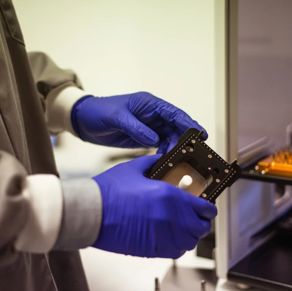
Revolutionizing Real Estate Development with Envelop3D
a 3D visualization tool for urban development: we are seeking seed funding to enhance and expand Envelop3D.
Envelop3D helps visualize the maximum legal buildable envelope for any site in 3D.
By integrating zoning laws and regulations into a user-friendly platform, Envelop3D streamlines the urban planning process and optimizes space utilization.
ADVANCED ZONING AND PLANNING ANALYSIS
Processing zoning regulations for millions of buildings in real-time
We analyze zoning regulations for millions of buildings, rapidly generating comprehensive datasets. This enables us to identify optimal urban development designs, ensuring efficient and effective planning solutions for developers and communities.
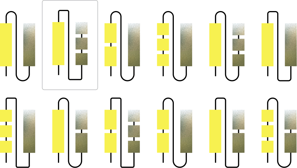
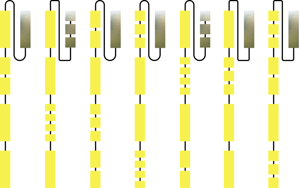
By analyzing zoning data at scale, we generate previously inaccessible insights that drive our ML platform to identify optimal urban development designs.
MACHINE LEARNING
Designing better buildings with generative modeling
Our ML platform processes building data to find patterns impacting the efficiency of zoning regulations, iterating across designs to maximize urban planning outcomes.
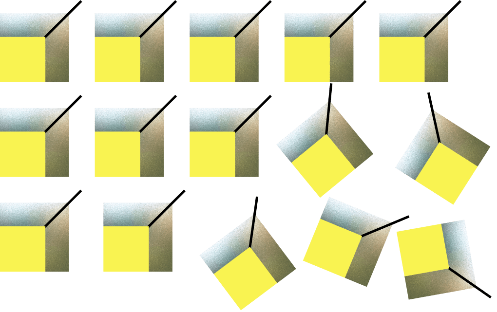
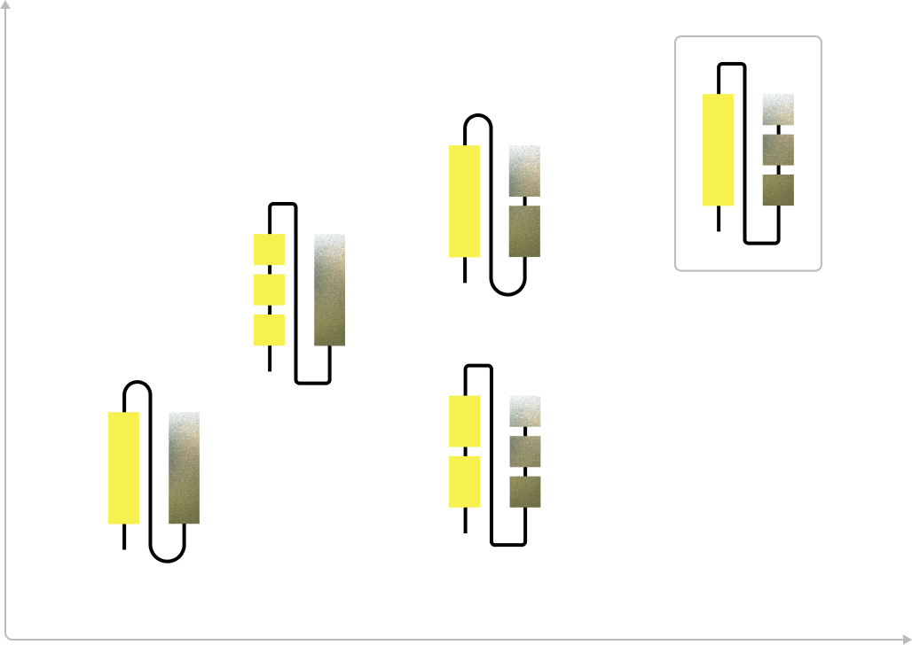
Integrating data from diverse sources improves our understanding of urban environments, enhancing decision-making across projects.
Data + ML = Smarter Urban Development
Engineering for optimal urban development with unmatched precision
Analyzing and engineering zoning data at scale helps us develop best-in-class urban plans in just months, enabling partners to move faster with their projects.


Urban developments reach approval stages much faster, with better chances of successful implementation.
Meet the Envelop3D team

Daniel Hardesty Lewis
Co-founder, CEO
Daniel has extensive experience in data science and urban planning. His work aims to streamline the planning process and enhance urban environments. Daniel previously ran a $1M project at the Texas Advanced Computing Center developing top-quality Texas elevation data, as well as creating the highest quality elevation imagery for Summit Geospatial. His expertise lies in integrating data-driven insights with urban development to create innovative solutions.
About Envelop3D
Envelop3D integrates advanced zoning and planning analysis with state-of-the-art data science and machine learning to revolutionize real estate development.


Build with Envelop3D
Join Envelop3D and be a part of delivering the next generation of urban development tools. We are seeking professionals in data science, urban planning, and machine learning to help us create the future of real estate visualization and planning.


